A satellite built on a small budget and with off-the-shelf supplies could be a solution to space junk.
A team of students from Brown University sent the satellite—which is powered by 48 Energizer AA batteries and a $20 microprocessor popular with robot hobbyists—into space about 10 months ago, hitching a ride on Elon Musk’s SpaceX rocket.
Now, an analysis of data from Air Force Space Command shows that the satellite successfully operated. It could also have far-ranging impacts on efforts to cut down on the growing problem of space debris, which poses a potential danger to all current and future space vehicles.
According to NASA, there are now more than 27,000 pieces of what it calls orbital debris or space junk being tracked by the Department of Defense’s global Space Surveillance Network. Orbital debris ranges from any human-made object in Earth’s orbit that no longer serves a useful function, like nonfunctional spacecraft, abandoned launch-stage vehicles, mission-related debris, and fragmentation debris. It also includes defunct satellites that remain in orbit sometimes decades after their mission is complete.
That’s a problem, given that most satellites remain in orbit for an average of 25 years or more, says Rick Fleeter, an adjunct associate professor of engineering. So when his students got a once-in-a-lifetime chance to design and build their own satellite to be launched into space, they decided to engineer a potential solution.
The students added a 3D-printed drag sail made from Kapton polyimide film to the bread-loaf-sized cube satellite they built. Upon deployment at about 520 kilometers (323 miles)—well above the orbit of the International Space Station—the sail popped open like an umbrella and is helping to push the satellite back down to Earth sooner, according to initial data. In fact, the satellite is well below the other small devices that deployed with it. In early March, for instance, the satellite was at about 470 kilometers (292 miles) above the Earth while the other objects were still in orbit at about 500 kilometers or more.
“You can see in the tracking data that we’re visibly below everybody else and accelerating away from them,” Fleeter says. “You can see that our satellite is already descending toward reentry, whereas the others are still in a nice circular orbit higher up.”
The data suggest that the student satellite, called SBUDNIC, will be out of orbit within five years versus the estimated 25 to 27 years the students calculated for it without the drag device.
Fleeter and the students believe that their initial analysis of the publicly available tracking data serves as a proof of concept that this type of sail can be part of an effort to reduce the number of space debris in orbit around Earth. They hope similar sails can be added to other same-sized devices or scaled up to larger projects in the future.
“The theory and physics of how this works has been pretty well accepted,” Fleeter says. “What this mission showed was more about how you realize it—how you build a mechanism that does that, and how you do it so it’s lightweight, small, and affordable.”
The project is a result of a collaboration between researchers at Brown’s School of Engineering and the National Research Council of Italy. It is also supported by D-Orbit, AMSAT-Italy, La Sapienza-University of Rome, and the NASA Rhode Island Space Grant. The name of the satellite is a play on Sputnik, the first satellite to orbit the Earth, and is also an acronym for the project participants.
This is the second small satellite designed and built by Brown students that’s been sent into orbit in recent years. The previous satellite, EQUiSat, did 14,000 loops around the Earth before ending its mission and burning up upon re-entering the atmosphere at the end of 2020.
SBUDNIC, however, is believed to be the first of its kind that was sent into orbit made almost exclusively from materials not designed for use in space and at such an astronomically low-cost when compared to other objects in orbit. The total cost of the student-designed cube satellite was about $10,000.
“The large complex space missions we hear about in the news are amazing and inspiring, but they also send a message that space is only for those types of specialized initiatives,” Fleeter says. “Here, we’re opening up that possibility to more people… We’re not breaking down all the barriers, but you have to start somewhere.”
A group of about 40 students designed and built the satellite in one year. It started in the course Design of Space Systems, which Fleeter taught in Spring 2021. Italian aerospace company D-Orbit approached with an opening for a satellite on the SpaceX Falcon 9 rocket that would launch in one year. Fleeter turned to his students, who had just listened to their first seminars on space systems design, and presented them the opportunity. From there, the race was on.
The students began by conceptualizing and designing the individual subsystems of the satellite, often working with industry advisors who provided feedback and engineering guidance on the feasibility of their proposals. Students then put their plans into action, managing the technical aspects of the satellite along with coordinating the administrative pieces. The continual prototyping, testing, and improving required amounted to a herculean effort from students in terms of hours and brain power.
Students purchased materials they needed at local stores and online retail websites. They often had to engineer nifty workarounds to their materials so they could survive in space. The approach often meant coming up with test apparatuses that replicated specific environmental conditions of space, like the high vibration from the rocket launch, says Marco Cross, who graduated last year with a master’s degree in biomedical engineering and served as chief engineer for SBUDNIC.
For instance, the team used reptile heating lamps in a vacuum chamber to test the thermal shield they created to protect the satellite’s electronics from the sun.
To be cleared for launch, the satellite had to pass qualification tests and meet strict rules and regulations that SpaceX and NASA follow. “It is a zero-failure-tolerated environment,” Cross says. “The team never wavered.”
The students got the green light after a series of vacuum, thermal, and vibration tests. A group then traveled to Cape Canaveral in Florida to deliver SBUDNIC so it could be inserted into D-Orbit’s larger carrier satellite, which was then put onto the SpaceX rocket.
Along with presenting their findings at conferences and submitting their data to a publication, the SBUDNIC team is currently planning a series of presentations in schools throughout Rhode Island. They hope to inspire future innovators and make high school students more aware of the opportunities that exist for them in space engineering and design.
Source: Brown University
The post Scrappy SBUDNIC satellite hitched a ride to space appeared first on Futurity.
A new technique that combines underused satellite and radar data in weather models may improve predictions, researchers report.
Tens of thousands of thunderstorms may rumble around the world each day, but accurately predicting the time and location where they will form remains a challenge.
“Thunderstorms are so ubiquitous it’s hard to count how many you get in Pennsylvania, or the United States or globally every day,” says Keenan Eure, a doctoral student in the meteorology and atmospheric science department at Penn State.
“A lot of our challenges, even today, are figuring out how to correctly predict the time and location of the initiation of thunderstorms.”
The researchers found that by combining data from the geostationary weather satellite GOES-16 and ground-based Doppler radar they could capture a more accurate picture of initial conditions in the boundary layer, the lowest part of the atmosphere, where storms form.
“There’s value in improving thunderstorm predictions from both Doppler radar observations and satellite observations that are currently underused and we showed that not only can they be used to improve predictions but putting them together has lots of benefits,” says Eure, lead author of the study in the journal Monthly Weather Review. “The sum is greater than the individual parts.”
The technique showed promise in improving forecasts of convection initiation, the conditions that spawn storms, several hours before the thunderstorms occurred in a case study from May 2018 in the Texas panhandle.
“Keenan focused on using satellite observations to better define the environment in which the storms would later form, and on using radar observations to improve the low-level wind fields that eventually helped to create the storms,” says coauthor David Stensrud, professor of meteorology and Eure’s advisor. “This observation combination had not been studied previously and ended up adding significant value to the model forecasts on this day.”
The researchers used data assimilation, a statistical method that can paint the most accurate possible picture of current weather conditions in the weather model, important because even small changes in the atmosphere can lead to large discrepancies in forecasts over time.
Understanding conditions in the boundary layer is particularly important because it strongly influences the ingredients for convection—near-surface moisture, lift, and instability—a process that causes warm air near the Earth’s surface to rise and form clouds.
“We obviously can’t model every molecule in the atmosphere, but we want to get as close as possible,” Eure says. We really believe this work adds a lot of valuable information that models currently don’t have and that we can help the depiction of the lowest part of the atmosphere.”
The team assimilated satellite and radar data separately and simultaneously and found the best results came from combining infrared brightness temperature observations from the satellite and radial wind velocity and boundary height observations from the radar.
The work uses all-sky satellite data assimilation, developed by Penn State’s Center for Advanced Data Assimilation and Predictability Techniques, that assimilates satellite data from all weather conditions, including cloudy and clear skies.
Forecasting previously relied on clear-sky observations, due to challenges in diagnosing the complex physical processes within clouds, the researchers say.
“While more cases need to be explored, these observations are currently available and could be used to improve thunderstorm prediction over the coming decade as NOAA continues to advance its Warn-on-Forecast paradigm in which computer model predictions help to make severe weather warnings more accurate and timely,” Stensrud says.
The research builds on work by the late Fuqing Zhang, professor of meteorology and atmospheric science. NASA and the National Oceanic and Atmospheric Administration supported the work.
Source: Penn State
The post Satellite and radar combo better predicts thunderstorms appeared first on Futurity.
A combination of space junk and a growing constellation of functional satellites like SpaceX's Starlink have astronomers worried about the potential for orbital materials to interfere with observations. And justifiably so, given that researchers are currently arguing over whether one observation represents one of the farthest supernovae ever observed or a spent Russian booster.
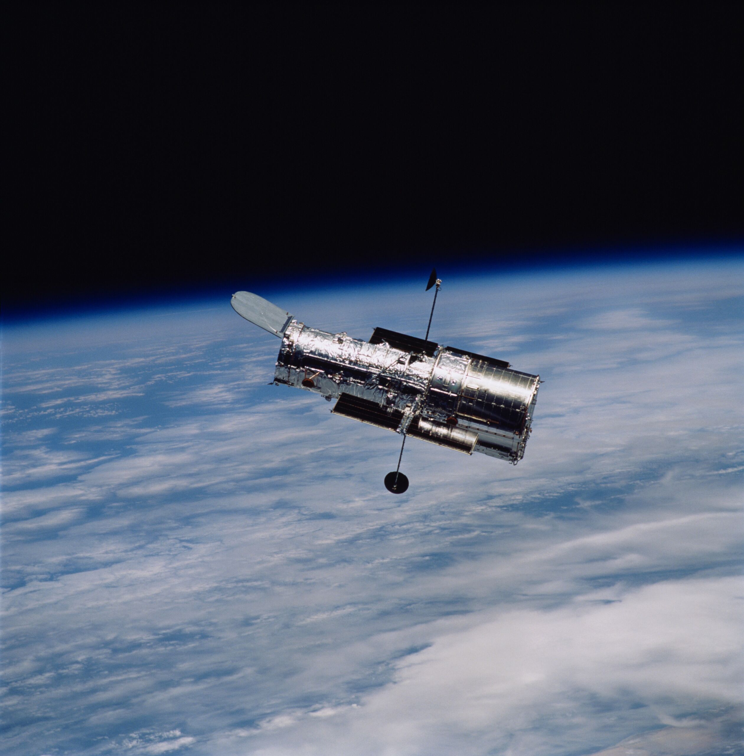
This clutter is obviously a big problem for ground-based observatories, which sit below everything in orbit. But several observatories, including the Hubble Space Telescope, sit in low-Earth orbit, which places them below many satellites. And a new survey of Hubble images shows that it's capturing an increasing number of satellite tracks in its images. So far, this hasn't seriously compromised its science, but it clearly shows that orbiting observatories aren't immune to these problems.
The work came from a citizen science project, the Hubble Asteroid Hunter, which organized volunteers to search for the tracks asteroids left in long-exposure Hubble observations. If an asteroid happens to pass through Hubble's field of view during this exposure, it can leave a short streak in the resulting image. But the participants started noting that some of the streaks they were seeing crossed Hubble's entire field of view during a single image (the project maintains a forum where the volunteers can discuss their work).